Bend to Hell’s Canyon
What a day. We left Amanda’s at 9:30 with the plan of meeting Amanda someplace in the Painted Hills on Friday.
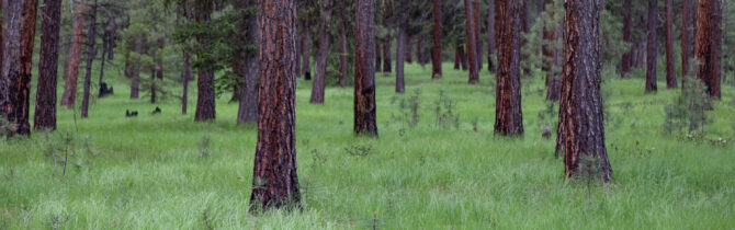
However, as we drove to Hell’s Canyon we realized that our Google maps underestimated the time it would take to drive to John May to Baker City and then on to Oxbow OR. The problem is that the roads wind through incredible volcanic vistas and deep evergreen forests and over many passes. The views are outstanding, but we couldn’t keep to the stated speed limit because of curves, construction, and narrow resurfaced roads with no lines. And stops for photos took time. So we contacted Amanda, another difficulty in this remote mountainous region with little or no cell service, to tell her that we would not be making back to the Painted Hills on Friday. It made us sad. But by not heading back west, we would instead head north over equally winding and narrow roads, but that direction would lead back to West Lafayette, rather than away from it.
After reaching Oxbow, we crossed the bridge into Idaho and drove up on the Hell’s Canyon road until we came to the NFS Big Bar campground — a number of undeveloped sites available for dispersed camping. There are three main areas here and we found a place to the north of the boat ramp that was perfect for us. The campsite was surrounded by blackberry bushes in full bloom.
Hell’s Canyon was created by erosion from the Snake River. In the 1960s the Hell’s Canyon dam was built to create the reservoir we camped next to.
As it was late (our drive had been more than eight hours) we had a quick skillet dinner of hash, eggs, and salad and went to bed. During the night it rained.
-- Janet (text) and David (photos)
Recent Comments